Sniffies Map Guide: Features, Privacy, and Smart Usage Tips
In summary: The sniffies map is an interactive, map-based platform designed to connect users through real-time location features and privacy-controlled networking. This guide breaks down core platform mechanics, safety configurations, technical comparisons, and actionable tips for navigating map-based location platforms securely.
Finding your way around modern location-based networking requires an understanding of both platform functionality and digital privacy. Map-driven platforms like Sniffies have altered how people interact with real-time geospatial data, offering an intuitive visual approach to local discovery. Whether you are curious about how location-based proximity mapping functions or want to configure your profile for optimal privacy, this complete overview covers the crucial features, security settings, and best practices needed to navigate the platform effectively.
Below, we break down essential insights including platform security protocols, a step-by-step setup guide, feature comparisons, and solutions to common user mistakes.
What Is the Sniffies Map and How Does It Work?
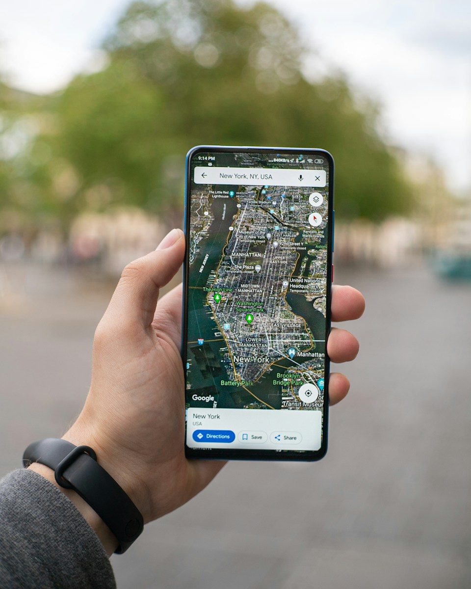
The sniffies map functions as a web-based, interactive radar that displays active user profiles across a high-resolution geographic grid. Built on modern geospatial rendering technologies like WebGL and responsive JavaScript APIs, the interface plots location markers dynamically as users change positions or update their status.
Unlike traditional social discovery apps that rely on vertical scrolling “swiping cards,” this platform centers the user experience entirely on spatial proximity.
When you open the web application, your device transmits location coordinates via browser-based GPS or IP network data. The application processes these coordinates through a spatial indexing engine, placing your profile icon onto the shared map canvas relative to nearby active points.
5 Essential Features of the Sniffies Map
Navigating the platform effectively relies on understanding its core interactive toolset:
- Real-Time Proximity Scanning: The map updates dynamic user nodes using active WebSocket connections, reflecting local presence without requiring manual refresh.
- Custom Location Masking: Users can obscure exact geographic coordinates by setting fuzzy location radiuses, displaying presence within a generalized area rather than a precise building address.
- Filter and Search Overlays: Integrated filtering parameters allow users to isolate map results by active status, verification level, or specific interest tags.
- Temporary Presence Pins: Interactive location markers can be dropped in public spaces or established meeting areas to indicate short-term activity or scheduled events.
- Cross-Device Browser Integration: Because the platform operates entirely as a Progressive Web App (PWA) rather than a native app store download, map rendering remains consistent across iOS, Android, and desktop browsers.
How to Set Up and Navigate the Sniffies Map Securely
Setting up an account requires balancing ease of connectivity with privacy protection. Follow these steps to establish a functional, secure profile on the map.
1.Initialize Profile and Grant Permissions :Prerequisite: Web browser with location support.
Open your browser and launch the web application. When prompted, permit temporary location access. For privacy-minded usage, select “Allow While Using App” rather than permanent tracking permissions in your device settings.
2.Configure Precision and Location Masking :
Navigate immediately to your profile privacy preferences. Enable distance-fuzzing options to offset your actual map pin by several hundred feet, preventing precise triangulation of your home address.
3.Apply Filtering Parameters :
Tap the filter icon situated on the main map interface. Define your search parameters—such as distance radius, activity windows, or profile attributes—to clear unnecessary clutter from your map view.
4.Establish Contact Boundaries :
Set your visibility parameters before interacting with pins on the map. Choose whether your profile remains active continuously or vanishes when the browser tab is closed.
Evaluating the Platform: Advantages and Limitations
Understanding both the strengths and potential downsides of map-centric platforms ensures a safer, more intentional user experience.
Pros
- Instant Spatial Awareness: Immediate visual feedback shows active users nearby without requiring back-and-forth swiping.
- No App Store Requirement: Running directly in the browser eliminates native app installations and hardware-specific account linking.
- Granular Distance Controls: Adjusting location fuzzing gives users control over exact coordinate sharing.
- Low Interface Friction: Browsing active pins across an open canvas streamline discovery compared to rigid algorithmic queues.
Cons
- Increased Data Consumption: Continuous real-time map rendering and location polling consume more mobile data and battery power than static lists.
- Location Privacy Risks: If precise location settings remain unadjusted, bad actors could attempt coordinate triangulation.
- Browser Dependency: Performance relies heavily on browser hardware acceleration, web canvas support, and active signal strength.
Comparing Location-Based Platforms
Choosing the right networking tool depends on your preferences for interface style, platform privacy, and accessibility.
| Feature / Attribute | Sniffies Map | Traditional Swipe Apps | Static Directory Apps |
| Primary Interface | Real-time interactive map | Vertical card stack | Grid or list view |
| Access Method | Progressive Web App (Browser) | Native App Stores (iOS/Android) | Native App / Browser hybrid |
| Location Precision | Adjustable (Exact or Fuzzed) | Fixed radius distance | City/ZIP-code based |
| Real-Time Updating | Live WebSocket pings | Periodic background sync | Manual refresh / On-login |
| Account Anonymity | High (No email/phone publicly tied) | Variable (Often linked to socials) | Moderate |
Key Privacy Settings and Common Usage Mistakes
Operating any map platform involves handling personal location data carefully. Cybersecurity research from institutions like the Electronic Frontier Foundation emphasizes that user awareness remains the primary defense against digital location tracking and unwanted data exposure.
Common Mistakes to Avoid
- Leaving Exact Coordinates Enabled at Home: Broadcasting raw GPS coordinates from a residential address leaves you open to geo-triangulation. Always apply location fuzzing when accessing the map from your residence.
- Including Identifying Backgrounds in Media: Uploading media with recognizable landmarks, street signs, or distinctive interior decor can inadvertently reveal your location.
- Sharing Personal Off-Platform Contact Info Too Fast: Moving conversations immediately to platforms connected to your full name or phone number bypasses built-in web privacy buffers.
- Ignoring Public Wi-Fi Risks: Accessing location services over unencrypted public networks can expose traffic metadata. Employ secure browsing habits or VPNs on public Wi-Fi access points as recommended by organizations like the Federal Trade Commission.
Frequently Asked Questions
Is the sniffies map safe to use on public networks?
While browser traffic uses standard HTTPS encryption, accessing location-sensitive maps on unsecure public Wi-Fi networks can expose device metadata. Using a Virtual Private Network (VPN) adds an additional layer of connection security.
How accurate is the distance display on the map?
Distance accuracy depends on your device’s positioning method (GPS vs. IP-based location) and your profile settings. If location fuzzing is activated, the position displayed to others will intentionally offset by a chosen margin.
Does the map track location when the browser is closed?
No. Because the service functions as a web application inside your mobile or desktop browser, clearing the browser tab or revoking location permissions stops active location polling immediately.
Can I change my position on the map without physically moving?
Yes, users can manually set custom geographic locations or drop temporary pins within setting menus, allowing them to explore map layouts in other destinations prior to traveling.
Why does my location pin seem inaccurate?
Inaccuracies typically stem from weak cellular signals, disabled high-accuracy GPS permissions, or network routing through distant ISP servers. Enabling location permissions directly inside browser settings typically resolves position drift.